
Status: Water Safety Statement
Special Statement for St. Lawrence River
Thursday, June 15, 2017 (8:30 AM)
The Raisin Region Conservation Authority is issuing a water safety statement for the St. Lawrence River. The International Lake Ontario – St. Lawrence River Board has increased the flow in the St. Lawrence River to 10,400 m³/s as a measure to reduce the water levels on Lake Ontario.
From the International Joint Commission:
“Since maintaining a continuous outflow of 10,400 m3/s is historically unprecedented, the Board along with the operators of the Moses-Saunders dam and navigation agencies will assess the safety of conditions before committing to sustaining this outflow for a longer duration. In particular, because the increased outflows will raise current velocities in the St. Lawrence River, the St. Lawrence Seaway has deployed significant additional mitigation measures to maintain safe conditions and ensure commercial navigation can continue during this period of exceptionally high flows.”
From the St. Lawrence Seaway Management Corporation:
“Pleasure craft operators are advised that this will create velocities higher than normal in the navigation channels and variations in the normal current patterns may occur. Extreme caution is requested during this period. Pleasure craft will be advised, through a bulletin, when the above situation will return to normal.”
The Board continues to monitor the system and will convene again on 19 June 2017 to assess the impacts from the change in outflow. Information can be found on the Board’s Facebook page at https://www.facebook.com/InternationalLakeOntarioStLawrenceRiverBoard , and more detailed information is available on its website at http://ijc.org/en_/islrbc .
IJC Contact:
Gail R. Faveri: (905) 336-6007; gail.faveri@canada.ca
Please note flooding is not expected along the St. Lawrence River from South Stormont through Cornwall and and South Glengarry. A water safety statement indicates high flows, unsafe banks, melting ice or other factors that could be dangerous for recreational users such as anglers, canoeists, hikers, children, pets, etc.
*** As a point of reference the flow this time last year was 7,600 m³/s.
About Flood Forecasting and Warning in the RRCA
The Ontario Ministry of Natural Resources and Forestry (MNRF) is responsible for flood related emergencies. Flood forecasting and warning has been delegated to Conservation Authorities. If a local emergency is declared, MNRF will work directly with the municipality and in consultation with the Conservation Authority.
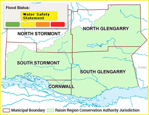
The Raisin Region Conservation Authority monitors precipitation and water levels throughout Cornwall, South Glengarry, and large portions of North Glengarry and South Stormont.
About Flood Forecasting Notices

Normal
No flood conditions exist.

Watershed Conditions Statement - Water Safety
High flows, unsafe banks, melting ice or other factors that could be dangerous for recreational users such as anglers, canoeists, hikers, children, pets, etc. Flooding is not expected.

Watershed Conditions Statement - Flood Outlook
Early notice of the potential for flooding based on weather forecasts calling for heavy rain, snow melt, high wind or other conditions that could lead to high runoff, cause ice jams, lakeshore flooding or erosion.

Flood Watch
Flooding is possible in specific watercourses or municipalities. Municipalities, emergency services and individual landowners in flood-prone areas should prepare.

Flood Warning
Flooding is imminent or already occurring in specific watercourses or municipalities.
In the event of a flood status of anything other than normal, the RRCA will issue a media release and advise our member municipalities.