
Water levels will continue to rise
March 17, 2025
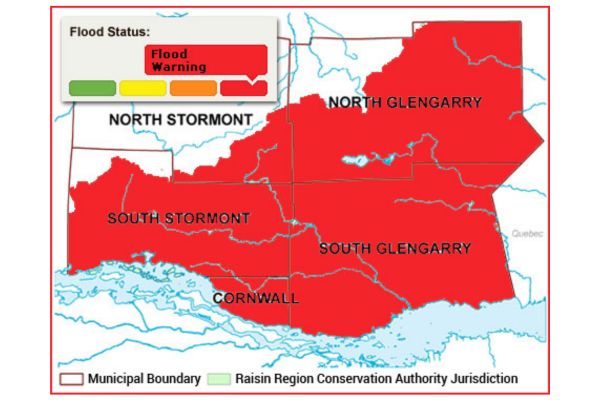
The Raisin Region Conservation Authority (RRCA) is issuing a Flood Warning for its jurisdiction. Recent warm temperatures, combined with precipitation, have led to significant snowmelt, causing rising water levels and increased flows. Many area creeks have reached bank full-flow conditions. As the melt continues, flooding is expected within the in-land rivers throughout the RRCA jurisdiction. Low-lying roads alongside rivers and creeks may be susceptible to flooding during the week. These areas include:
- McGillivray Road between Martintown and County Road 27
- Chapel Road, between the Beaudette River and Caber Road.
- River Road, between McGillivray's Bridge and Williamstown
- Cashion Road
- Loyalist Road, downstream of Williamstown
Certain driveways and farm lanes in flood-prone area may also be submerged. Properties upstream of St. Andrews West on the Raisin River may also experience high water.
Residents in North Glengarry should be aware that the RRCA is actively monitoring lake levels at Loch Garry, Middle Lake, and Mill Pond. Water levels in the Garry River, downstream of these lakes, may rise suddenly as part of necessary water level management.
This statement remains in effect until Monday, March 24, 2025, at 4:00 PM.
The RRCA will continue monitoring water levels and weather forecasts as part of its Flood Forecasting and Warning Program. Updates will be provided as conditions change.
For more information:
Jason Symington, Resource Specialist
613-938-3611 ext. 230
Jason.Symington@rrca.on.ca
Media Contact:
Vincent Pilon, Communications Specialist
613-938-3611 ext. 229
Vincent.Pilon@rrca.on.ca