Current Status: Flood Warning
Flood Warning: Waters Will Continue to Rise
Wednesday, March 11, 2026 (2:00 PM)

This statement is an update to the Flood Watch statement issued on March 10, 2026.
The Raisin Region Conservation Authority (RRCA) is issuing a Flood Warning for its jurisdiction.
Weather Forecast: Environment Canada is forecasting continued above-zero temperatures which will result in additional snowmelt across the region. Rainfall, heavy at times, is expected throughout the evening reaching up to 30mm by tomorrow.
Environmental Conditions: Recent warm temperatures, combined with precipitation, have led to significant snowmelt, causing rising water levels and increased flows. Many creeks in the RRCA jurisdiction are approaching bank full conditions.
Risks: Flooding is expected within the inland rivers throughout the RRCA jurisdiction. Low-lying roads, farm lanes, and driveways alongside rivers and creeks may be susceptible to flooding during the week.
South Glengarry:
Low-lying roads susceptible to flooding include:
- McGillivray Road between Martintown and County Road 27
- Chapel Road, between the Beaudette River and Caber Road
- River Road, between McGillivrays Bridge and Williamstown
- Cashion Road
- Loyalist Road, downstream of Williamstown
South Stormont:
Properties upstream of St. Andrews West on the Raisin River may experience high water.
North Glengarry:
The RRCA is actively monitoring and managing lake levels at Loch Garry, Middle Lake, and Mill Pond to reduce the potential for flooding. Water levels in the Garry River, downstream of these lakes, may rise suddenly as part of necessary water level management.
This statement remains in effect until Monday, March 16, 2026, at 4:00 pm. The RRCA will continue monitoring water levels and weather forecasts as part of its Flood Forecasting and Warning program. Updates will be provided as conditions change.
For more information: Jason Symington, Resource Specialist, (613) 938-3611 ext. 239, Jason.Symington@rrca.on.ca
Media contact: Vincent Pilon, Communications Specialist, (613) 938-3611 ext. 229, Vincent.Pilon@rrca.on.ca
Forwarded to: RRCA Flood Forecasting and Warning Directory
About Flood Forecasting and Warning in the RRCA
The Ontario Ministry of Natural Resources (MNR) is responsible for flood related emergencies. Flood forecasting and warning has been delegated to Conservation Authorities. If a local emergency is declared, MNR will work directly with the municipality and in consultation with the Conservation Authority.
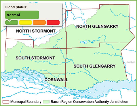
The Raisin Region Conservation Authority monitors precipitation and water levels throughout Cornwall, South Glengarry, and large portions of North Glengarry and South Stormont.
About Flood Forecasting Notices

Normal
No flood conditions exist.

Watershed Conditions Statement - Water Safety
High flows, unsafe banks, melting ice or other factors that could be dangerous for recreational users such as anglers, canoeists, hikers, children, pets, etc. Flooding is not expected.

Watershed Conditions Statement - Flood Outlook
Early notice of the potential for flooding based on weather forecasts calling for heavy rain, snow melt, high wind or other conditions that could lead to high runoff, cause ice jams, lakeshore flooding or erosion.

Flood Watch
Flooding is possible in specific watercourses or municipalities. Municipalities, emergency services and individual landowners in flood-prone areas should prepare.

Flood Warning
Flooding is imminent or already occurring in specific watercourses or municipalities.
In the event of a flood status of anything other than normal, the RRCA will issue a media release and advise our member municipalities.
