
Status: Water Safety Statement
Water Safety Statement
Wednesday, March 12, 2025 (9:00 AM)
The Raisin Region Conservation Authority (RRCA) is issuing a Water Safety Statement for its jurisdiction.
Recent warm temperatures have led to increased snowmelt and runoff, raising flows in local creeks and rivers. As the melt continues, fast-moving water, unstable banks, and melting or unstable ice may create hazardous conditions across the watershed. Residents are advised to exercise caution near all waterways.
While current conditions do not indicate flooding, the situation may change if temperatures rise rapidly or if significant rainfall occurs. Residents should remain vigilant and avoid potentially dangerous areas around rivers, streams, and other bodies of water.
Residents in North Glengarry should be aware that the RRCA is actively monitoring lake levels at Loch Garry, Middle Lake, and Mill Pond. Water levels in the Garry River, downstream of these lakes, may rise suddenly as part of necessary water level management.
This statement remains in effect until Friday, April 11, 2025, at 4:00 PM.
The RRCA will continue monitoring water levels and weather forecasts as part of its Flood Forecasting and Warning Program. Updates will be provided as conditions change.
For more information:
Phil Barnes
Team Lead, Watershed Management
613-938-3611 ext. 240
phil.barnes@rrca.on.ca
Media Contact:
Vincent Pilon
Communications Specialist
613-938-3611 ext. 229
vincent.pilon@rrca.on.ca
About Flood Forecasting and Warning in the RRCA
The Ontario Ministry of Natural Resources (MNR) is responsible for flood related emergencies. Flood forecasting and warning has been delegated to Conservation Authorities. If a local emergency is declared, MNR will work directly with the municipality and in consultation with the Conservation Authority.
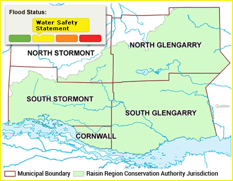
The Raisin Region Conservation Authority monitors precipitation and water levels throughout Cornwall, South Glengarry, and large portions of North Glengarry and South Stormont.
About Flood Forecasting Notices

Normal
No flood conditions exist.

Watershed Conditions Statement - Water Safety
High flows, unsafe banks, melting ice or other factors that could be dangerous for recreational users such as anglers, canoeists, hikers, children, pets, etc. Flooding is not expected.

Watershed Conditions Statement - Flood Outlook
Early notice of the potential for flooding based on weather forecasts calling for heavy rain, snow melt, high wind or other conditions that could lead to high runoff, cause ice jams, lakeshore flooding or erosion.

Flood Watch
Flooding is possible in specific watercourses or municipalities. Municipalities, emergency services and individual landowners in flood-prone areas should prepare.

Flood Warning
Flooding is imminent or already occurring in specific watercourses or municipalities.
In the event of a flood status of anything other than normal, the RRCA will issue a media release and advise our member municipalities.